Flood check, Queensland
Check the flood zone by address
Short answer
To check if a Queensland property is in a flood zone, you look up two things for the address: the state's flood study mapping and your council's own flood overlay, which are published separately. Landbrief checks both — plus coastal hazard and storm tide layers — in one free check, below.
Flood risk is mapped — state flood study areas, council flood overlays, coastal hazard and storm tide layers. Landbrief checks them all for any Queensland address and shows you exactly which apply, with maps, in minutes. The layer check is free; the full PDF report with maps is $49.
Checking the planning layers for this site — this takes 10–20 seconds…
Instant PDF report · $49 incl. GST · any Queensland address · see a real example
Works for every address in all 77 Queensland councils — Brisbane, Gold Coast, Moreton Bay, Sunshine Coast, Ipswich, Logan, Townsville, Cairns, Toowoomba, Mackay, Fraser Coast, Redlands and every other council.
What you get
- State flood study areas and your council's own flood overlay mapping
- Coastal hazard areas and storm tide inundation layers where mapped
- The classification where mapping distinguishes severity
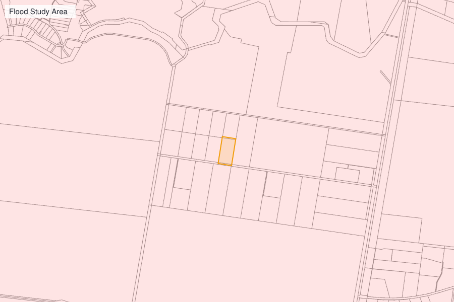
- Site maps showing where the mapped extent sits against your lot
- Every other overlay on the property — bushfire, easements, zoning included
Built from Queensland Government spatial services and councils' own published planning scheme mapping — every report lists its sources. For advice on what the constraints mean for your plans, a town planner can take it from there.
Today's example report
98-100 Wembley Rd, Logan Central Qld 4114
LOGAN CITY · Centre · 10 Oct
A real report for a real Queensland property — 27 planning layers checked, 7 applying, over 11 pages. We regenerate it against a different site every day, so what you're looking at is the product running today, not a mock-up.
View the example report (PDF)Flood history by suburb
Whether the recorded flood extents reach into the suburb, the council's disaster history and the nearest warning gauge — then check your own address.
- Emerald Central Highlands
- Bargara Bundaberg
- Southport City of Gold Coast
- Surfers Paradise City of Gold Coast
- Palm Beach City of Gold Coast
- Innes Park Bundaberg
- Burleigh Heads City of Gold Coast
- Burnett Heads Bundaberg
- Rochedale Brisbane
- Branyan Bundaberg
- Coomera City of Gold Coast
- Mermaid Waters City of Gold Coast
- Broadbeach Waters City of Gold Coast
- Woodgate Bundaberg
- Upper Coomera City of Gold Coast
- Stapylton City of Gold Coast
Flood history by council
The council's disaster history and every suburb flood page it covers, in one place.
- Aurukun
- Balonne
- Banana
- Barcaldine
- Barcoo
- Blackall-Tambo
- Boulia
- Brisbane
- Bulloo
- Bundaberg
- Burdekin
- Burke
- Cairns
- Carpentaria
- Cassowary Coast
- Central Highlands
- Charters Towers
- Cherbourg Aboriginal
- City of Gold Coast
- City of Moreton Bay
- Cloncurry
- Cook
- Croydon
- Diamantina
- Doomadgee Aboriginal
- Douglas
- Etheridge
- Flinders
- Fraser Coast
- Gladstone
- Goondiwindi
- Gympie
- Hinchinbrook
- Hope Vale Aboriginal
- Ipswich
- Isaac
- Kowanyama Aboriginal
- Livingstone
- Lockhart River Aboriginal
- Lockyer Valley
- Logan
- Longreach
- Mackay
- Mapoon Aboriginal
- Maranoa
- Mareeba
- McKinlay
- Mornington
- Mount Isa
- Murweh
- Napranum Aboriginal
- Noosa
- North Burnett
- Northern Peninsula Area
- Palm Island Aboriginal
- Paroo
- Pormpuraaw Aboriginal
- Quilpie
- Redland
- Richmond
- Rockhampton
- Scenic Rim
- Somerset
- South Burnett
- Southern Downs
- Sunshine Coast
- Tablelands
- Toowoomba
- Torres
- Torres Strait Island
- Townsville
- Weipa Town Authority
- Western Downs
- Whitsunday
- Winton
- Woorabinda Aboriginal
- Wujal Wujal Aboriginal
Questions
How do I check the flood zone for an address in Queensland?
Flood mapping is published by the state and by councils, spread across several tools. A Landbrief report checks the state flood layers and your council's own overlay mapping for the address in one pass, with maps.
Does a flood overlay mean the property floods?
Not necessarily — an overlay means mapped risk that the planning scheme takes into account, from historic studies and modelling. The report shows which layer applies and its classification, so you can weigh what it actually says.
Will flood mapping affect what I can build?
Often, yes — flood overlays add assessment requirements or conditions to development. Knowing the mapping before you buy or design is exactly why the check exists.
Is the flood check free?
Yes — checking whether a flood layer applies to an address is free. The $49 PDF report adds the maps, every other planning layer and the classification detail for the layers that apply.
Can I get the flood map as a PDF?
Yes — the $49 report is a PDF that includes maps showing the mapped extent against your lot, alongside every other layer checked for the address.
What do flood zone codes mean?
Flood mapping generally falls into a few categories: a flood study area (the modelled extent for a defined event), an overlay classification (how the planning scheme treats development within that area), and coastal hazard or storm tide layers for tidal and cyclone-driven inundation. The report names the exact layer and classification for your address rather than a generic code — council scheme wording varies.
Free development application alerts
Watch this area while you decide.
Get a brief whenever a development application — the plans a council must approve before building starts — is lodged or decided near an address you care about — with the zone and planning constraints for the site. Free.